vrHIS

Virtual Reality for Profile Data


Contents

Real 3D-animation of profile- and hydrological data, stored in HIS'3D® :

  • data control
  • visuakization for meetings
  • What-if scenarios
  • Augmented reality in the field

Data

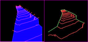
  • River profiles/cross sections (summarized in blocks)
  • Length sections
    • e.g. shore lines, flood protection
  • Areas
    • e.q. water level, HQ100
Profile und Flaechen 3D

Hydroligical applications

  • measurement station on real positions
  • Colouring accorsing to online data
  • Marking the navigable area in rivers with current water level
    • computations from models
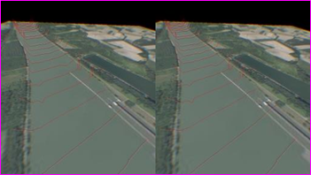
background image - stereographı

Maps

Maps are computed automatically in the area of used data, from WMS- or WMTS-services.

Practical usage

  1. select data in the web application
  2. donload data package including maps into a VR-device (glasses, phone, computer)
  3. take your VR-device
  4. select which data to be displayed
  5. virtual surfing

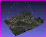
3D background

Maps or 3D-scans of the surface offer the background for the 3D-animation.

The surface model is created from

  • laserscans (DOM)
  • orthophotos
  • bathymetry data

automatically in HIS'3D® .

Tiles in different resolution levels are created (like a 3D WMTS) and offered to the animation. So the complete creation of the model is done within one integrated tool.

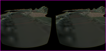
3D river picture stereograhic controller
Phone and Glasses

Techniques

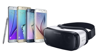
vrHIS is an extension module to HIS'3D® and fully integrated. We use the VR-device Gear VR™ together with a Samsung™ Galaxy mobile phone.

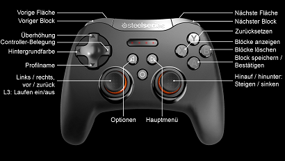
Controlling is performed by moving the head (direction of view) and a joystick (position change, adding blocks, areas, maps).

3D tile

An MS-Windows™ version, controlled by keyboard and mouse or by finger gestures is available, too.


Im Info-Form ask for more information

Home
Copyright Simutech 2017-2022
Mail to webmaster