HIS'3D®Module
HISprof
the profile-editing-module
In HIS'3D®
all values are stored with coordinates - a full localization of data values!
Coordinates are used in many applications:
sediments, measurement in different river depths, sending hydrological values to GIS-models, etc.
HISprof offers a full-featured desktop
for editing and administrating profiles.
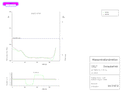
HISprof deals with all kinds of profiles:
length and cross profiles; river profiles, valleys or electricity line layouts.
| |
- numerical and graphical editing of profiles
- presentation in horizontal and vertical projection
- profile points legends
- seriphs for subterranean areas
- marker symbols
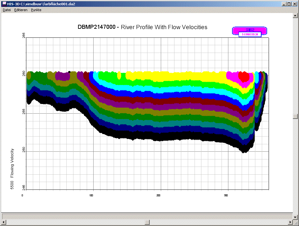
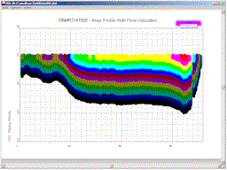
- colour intensity plots (e.g. for river temperatures and flow velocities)
- printing on plotters with plot optimization
- printing to endless forms
- export into the dxf-format
|
- arbitrarily formatable import/export files
- creation of profiles out of a cloud along a path
- automatic linking of profiles
- epoche statistics
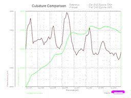
- epoche comparison
- cubature computation
- with height level borders
- in several layers
- difference curves
- point reduction
- ADCP evaluation
Extension modules with relation to profiles:
- HISarc - presentation of profiles
on maps in ground view (optionally with velocity vectors)
- HISoline -
computation of isotachs out of ADCP data values
Use the info-form to request further information.